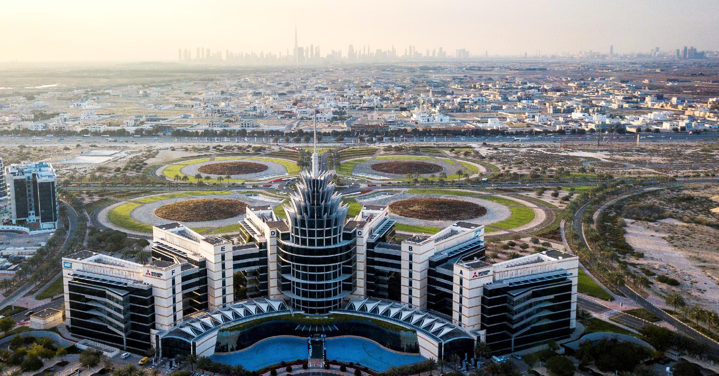
Dubai Silicon Oasis Authority (DSOA), the regulatory body for Dubai Silicon Oasis (DSO), signed a memorandum of understanding (MoU) with the Geographic Information Systems (GIS) Centre of Dubai Municipality. The parties will collaborate to enhance the geospatial infrastructure development utilizing the latest technology solutions to accelerate the digital transformation and keep up with new opportunities to upgrade smart services and facilitate work procedures in various working conditions.
The MoU was signed remotely by Engineer Muammar Al Katheeri, Executive Vice President of Engineering and Smart City at DSOA, and Engineer Mariam Obaid Al Muhairi, Director of Dubai Municipality’s GIS Center.
The agreement serves as gateway to the enhancement of the mapping of Dubai’s economy, in partnership with all active players in the emirate, through the unified and up-to-date baseline map from one source easily and quickly, using the latest geotechnical technologies at Dubai Municipality.
The MoU grants DSOA access to the interactive planning and survey mapping of Dubai, provided by the GIS Center at the Dubai Municipality. DSOA will be provided with geographical data via the electronic government information network, in addition to other specialized systems, smart applications and three-dimensional models of geospatial data and information on projects and areas under development at DSOA, in addition to providing aerial photography services, geospatial vehicles, and specialized training and consulting.
DSOA in turn will provide the GIS Center with electronic data and digital information with a geographical dimension, including infrastructure and land data, residential and commercial unit plans, and 3D building data.
Commenting on this agreement, Engineer Muammar Al Katheeri said: “DSOA’s Smart Cities strategy focuses on utilizing the latest and comprehensive data to position DSO as a test bed for the latest infrastructure development applications and sustainable options to serve its residents, business partners and the wider Dubai community. The agreement that we entered into with the Dubai Municipality's Geographic Information Systems Center enhances the competitiveness of Dubai’s business environment and supports the development of an integrated economic and social strategy for post COVID-19.”
For her part, Engineer Mariam Obaid Al Muhairi, said: “The GIS Center is keen to coordinate with various parties in the public and private sectors alike, in a bid to raise the level of services and facilitate workflow with the use of the latest geographical and spatial data and information. We are committed to support the provision of an advanced and integrated infrastructure in Dubai, in cooperation with key players in drawing the economic map of Dubai.”
This agreement comes in line with a previous MoU signed between DSOA and Dubai Municipality in November 2019 aimed at enhancing the cooperation between both parties in the sustainability field, in addition to developing and implementing the geospatial infrastructure of Dubai by establishing the first realistic lab for innovative ideas at DSO.


 For an optimal experience please